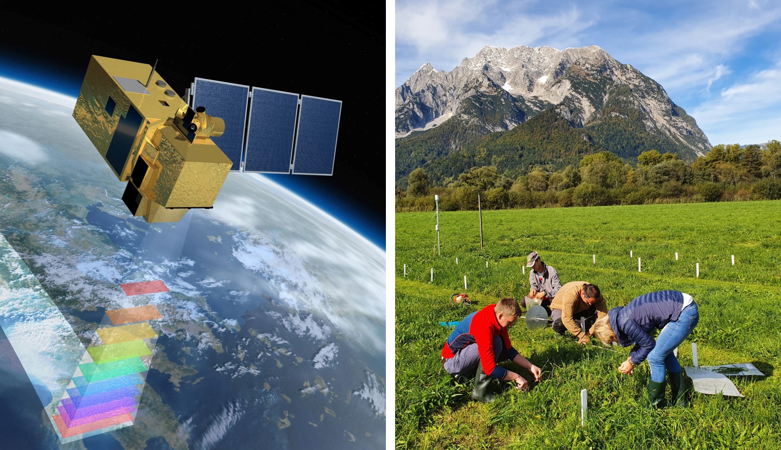
Copernicus helps us here . They continuously record the entire earth's surface every few days and with a resolution of 10 meters, spectral information that is particularly suitable for observing and evaluating vegetation. Together with weather data, we integrate this data into a data basis as part of the SatGrass project, which can show yield and quality dynamics on many grassland areas in Austria
The aim is to use the tools developed from this to give the farmer the opportunity to
- the yield and crude protein content of the feed in the field ,
- with long-term averages or with
- compare the average yields in his region and, with a look into the near future, the one for him
- the optimal cutting date at which the relationship between yield and quality fits best.
In addition to direct management support for individual grassland farmers, this data is also used for advice, statistics, agricultural policy and, with regard to the challenges of climate change, risk management .
Just listen or watch:
In conversation with Dr. Andreas Steinwidder tell Dr. Andreas Schaumberger and DI Andreas Klingler talk about the results of the SatGrass project - satellite-based modeling of yield and quality dynamics in grassland and pass on interesting findings.

