Project "MeadowTypes" - satellite-based classification of meadow types successfully completed
Together with Joanneum Research, the MeadowTypes digitization project successfully completed at the Institute for Plant Production and Cultural Landscapes. An effective method for classifying meadow types based on remote sensing data was developed.
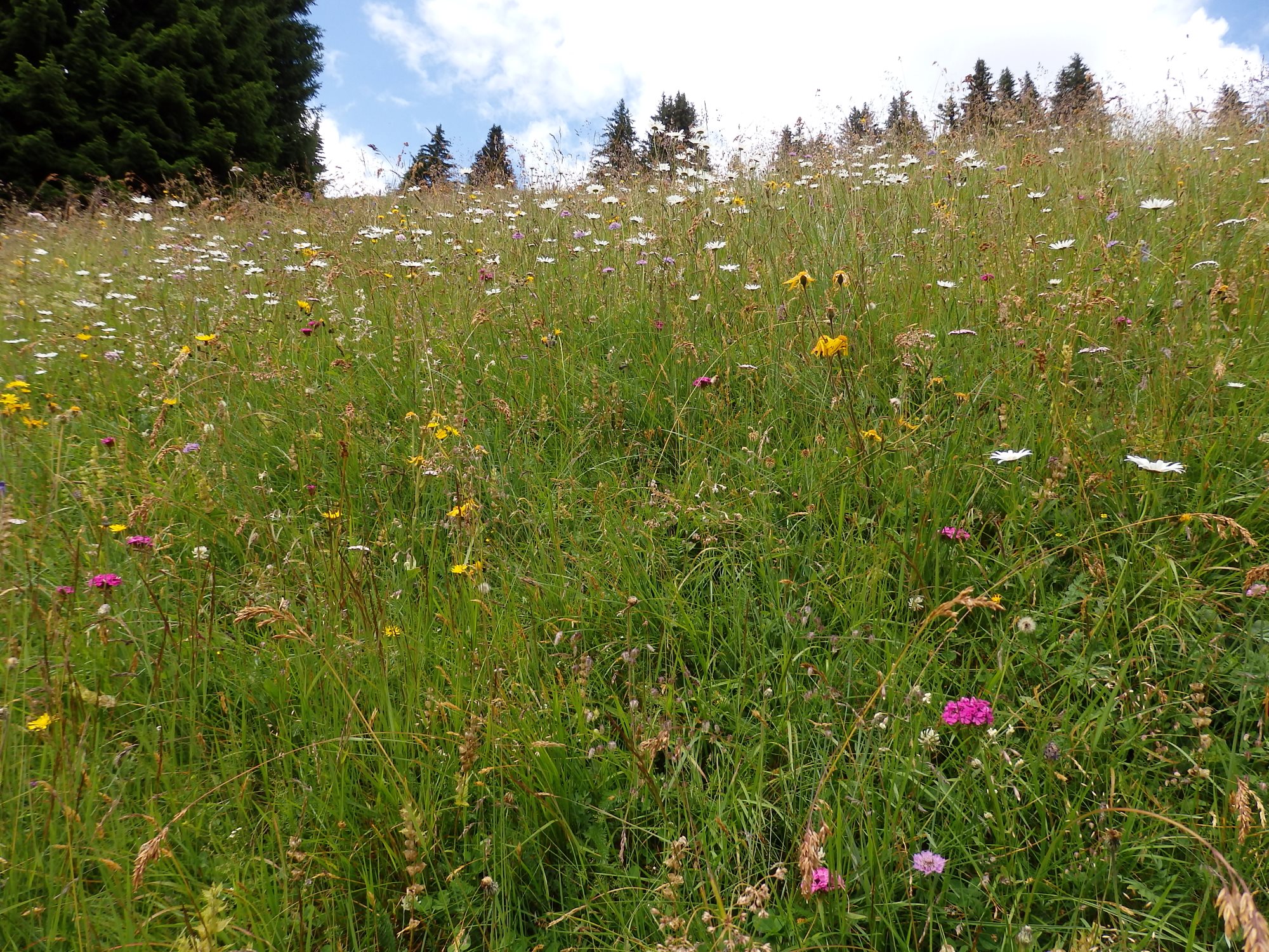
First, a suitable scheme for classifying meadows based on soil information and management intensities be created. This schema was created to provide information
- land use,
- topography and
- Climate expanded
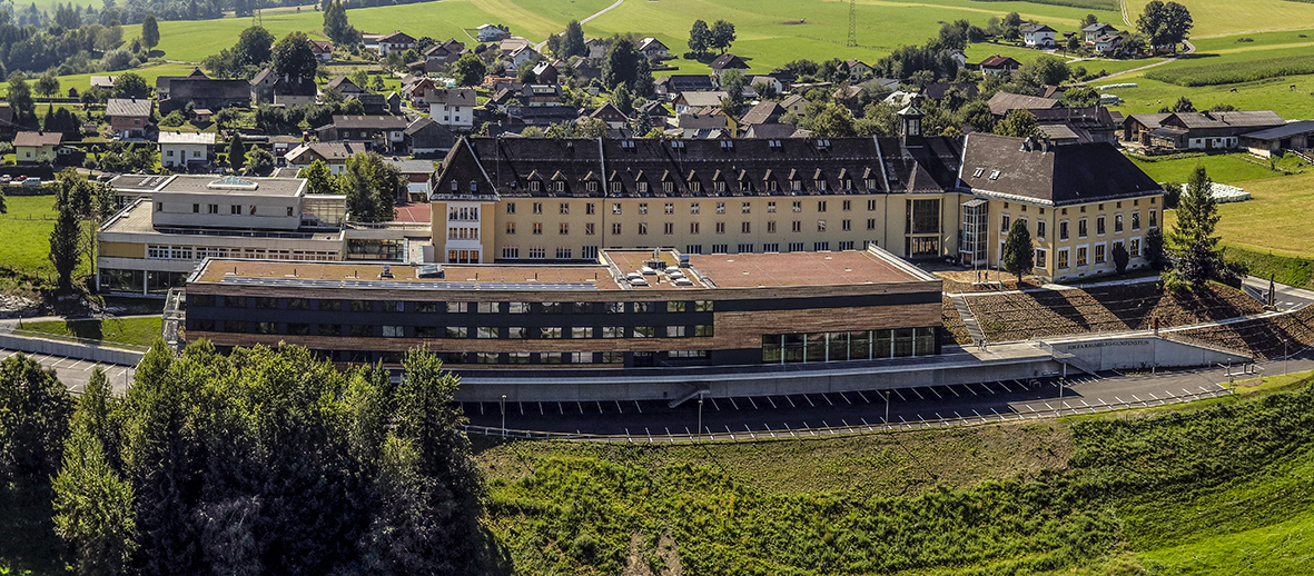
and applied to field observations from numerous extensively and intensively managed sites . In addition to surveys by the HBLFA Raumberg-Gumpenstein, a large part of the data was gratefully made available nature conservation departments of the states of Styria, Salzburg and Upper Austria
The classification was carried out using a model based on machine learning using spectral information from Sentinel-2 satellite data .
The model developed enables the detailed classification of meadow types on different grassland areas at a scale of 1:50,000 with an accuracy of around 80%. Based on this work, applications for the automated identification of meadow types in different landscapes can be further developed.


