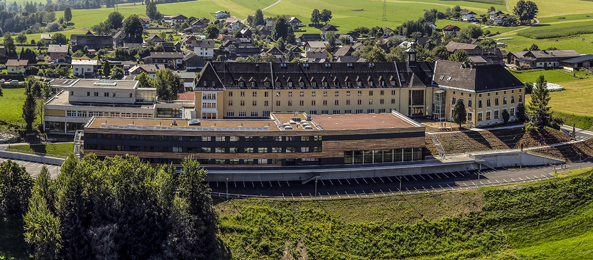
In the “Satellite-based modeling of grassland yield and quality dynamics” project, SatGrass for short, grassland research at the HBLFA Raumberg-Gumpenstein is working with partners from the field of satellite remote sensing (University of Natural Resources and Life Sciences Vienna) and the Central Institute for Meteorology and Geodynamics on a model to estimate yield and quality on Austrian grassland areas. SatGrass is a project financed by the Research Promotion Agency (FFG) as part of the Austrian Space Program (ASAP) and is coordinated by the Austrian Association for Grassland and Livestock Industry (ÖAG) and the HBLFA Raumberg-Gumpenstein.
In order to interpret information from satellite observations, it is necessary to collect as much reliable measurement data as possible. Sampling on differently used grassland areas in the different climatic regions of Austria is therefore a prerequisite for the development of yield and quality models and is currently the focus of the project started this year.
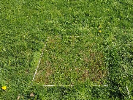
Since we cannot send employees from HBLFA Raumberg-Gumpenstein and ÖAG to collect samples throughout Austria for logistical reasons, we are dependent on other partners to collect data across the country. The Maschinenring provides a very important support here by providing a dense network of observation locations with around 100 grassland farms. Agricultural schools throughout Austria are also important partners who collect yield data on their land and thus further improve the informative value of the models. Sampling is very complex, as data on biomass, quality, height and population are collected not only at harvest dates but every two weeks in order to record the development of the plant population over the course of growth.
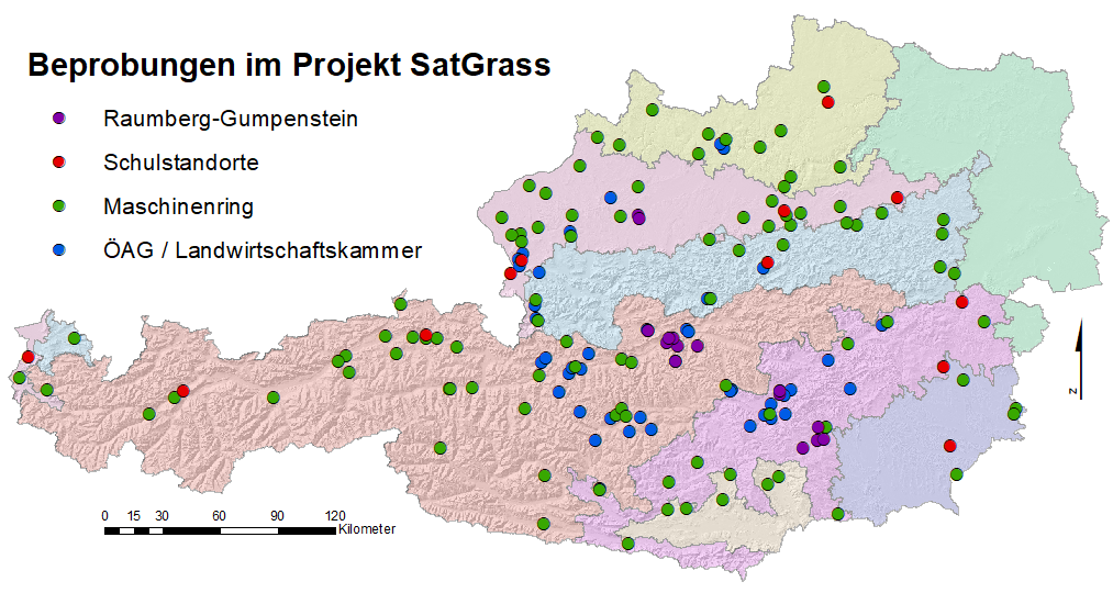
Overview of all locations where data is collected for SatGrass.
Information about the basics and progress can be found on the project homepage .
Further links: FFG project database SatGrass

