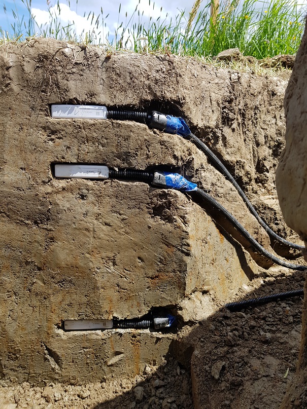
The basis for the present implementation of a GIS database with soil temperatures for Austria in a high temporal and spatial resolution is information about the soil (field capacity, sand content) and the development of selected crops (grassland and maize) influenced by management effects. The spatial resolution in the present development is 250 meters, the temporal resolution refers to a daily combination of weather data with soil information to calculate soil moisture and the development of above-ground biomass. The starting point for the GIS application is a location-based soil temperature model, in which continuous grid surfaces of the entire study area (Austria) are used on a daily basis instead of numerical individual values. This requires the daily surfaces of daily minimum, daily maximum and daily mean air temperature, global radiation, precipitation, the reference evapotranspiration calculated and interpolated according to Penman-Monteith, the modeled snow cover as well as static information on usable field capacity, sand content in the soil and crop-specific albedo.
Schaumberger, A. (2013): Spatial modeling of ground temperatures for Austria, final report, HBLFA Raumberg-Gumpenstein, Irdning, 30 p.


