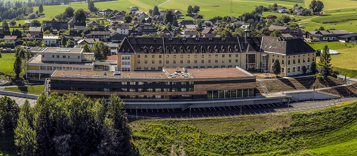
The project provides detailed information about whether and how exactly vegetation dynamics, i.e. yield and quality trends in grassland, can be recorded with multispectral drone data. For this purpose, a multispectral sensor (MAIA-S2) is mounted on a drone (MK8-3500) and the experiment is flown at short time intervals. This will generate important information and experiences in this area of grassland digitization for future practical applications on grassland farms.
In a further step, the collected data will be processed so that it can be integrated into the grassland growth models that are being developed in the SatGrass project.
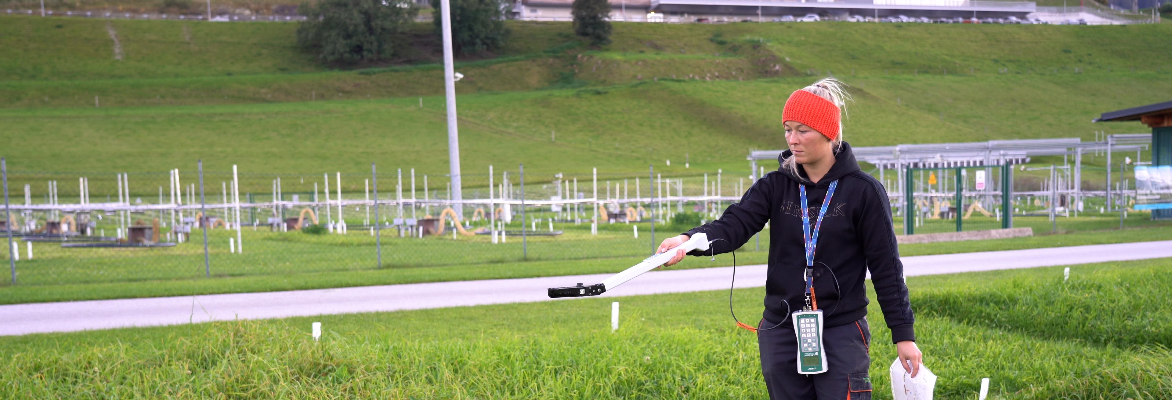
Measuring the plots:
Spectral measurements are made:
Stock height measurement:
Trial harvest:
Measurements by drone:
CutGrass ratings:
Measurement of leaf area index (LAI)


