Optical multispectral images in high spatial and temporal resolution, such as those provided by the Sentinel-2 satellite, are evaluated and systematically examined for changes in vegetation using vegetation parameters. The biggest challenge here is to use appropriate methods to best close gaps in the images where clouds prevent the satellite from viewing fields.
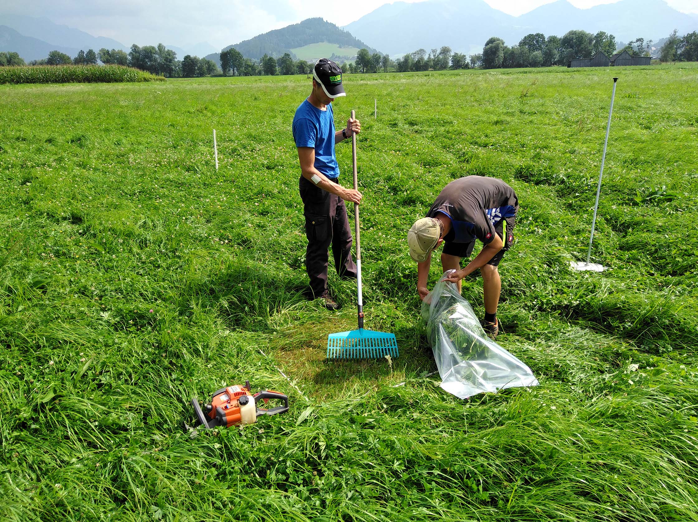
The surveys on the test areas are a prerequisite for the satellite-based detection of cutting times, yield and feed quality
The basis for such models is survey data that we have been collecting at around 170 locations for more than two years. In addition to the precise observation and measurement of grassland stocks, we record the harvest time of the respective area down to the day. With several thousand recorded harvest times, we have developed a model that is able to identify the harvest day with an accuracy of up to about 5 days using satellite data.
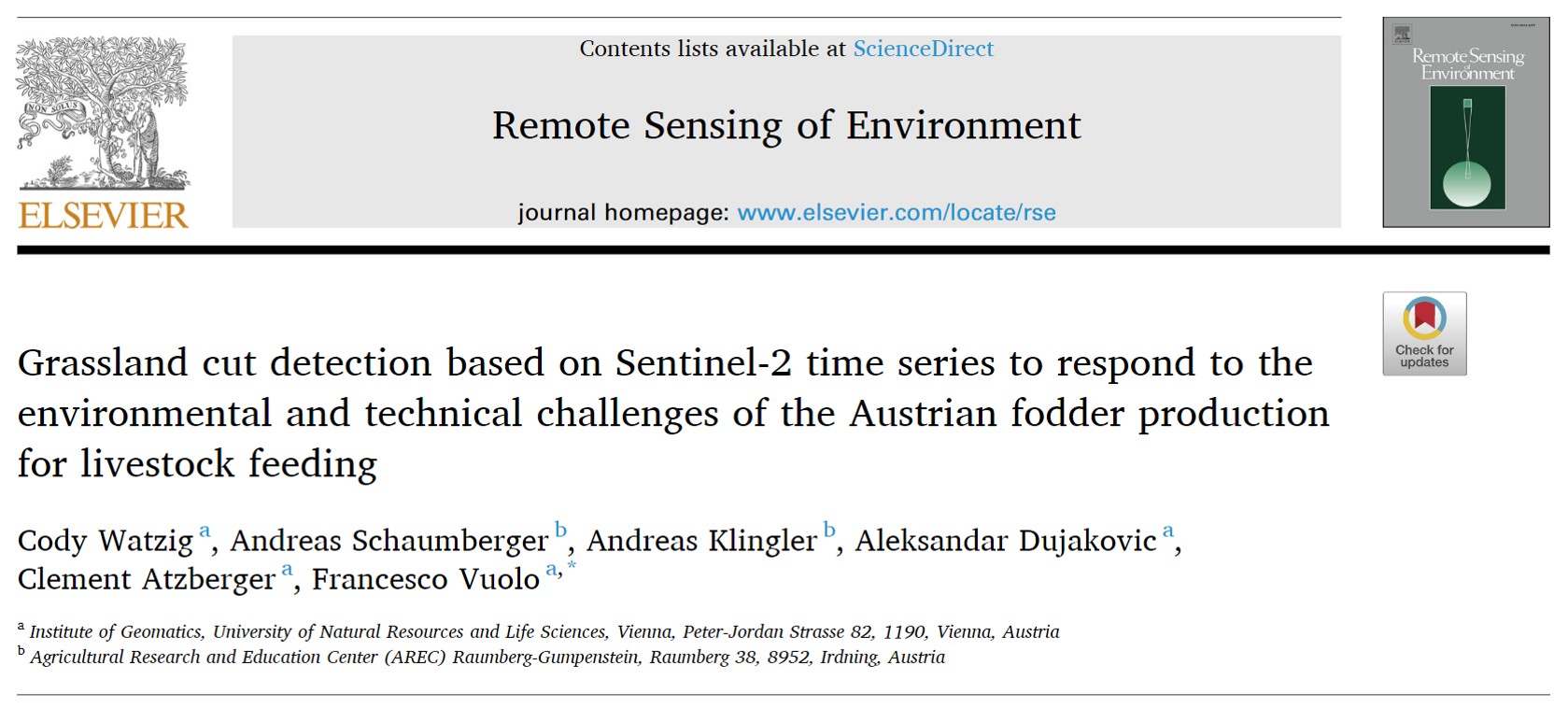
Together with the Institute of Geomatics at the University of Natural Resources and Life Sciences, we have published the results of our work so far in a renowned international journal. In the next stage of the SatGrass project, we will build on these cutting detection results and develop models for estimating yields and forage quality. Ultimately, they should enable a quantitative and qualitative assessment of the plants still in the field during growth.
You can access the original article here

