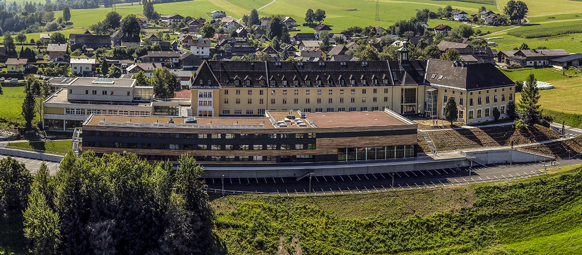
Since the beginning of this year's growing season, grassland stands have been regularly monitored at the HBLFA Raumberg-Gumpenstein crop cultivation test field using an autonomously flying drone and a multispectral sensor.
The team in the grassland management department has set itself the goal of automating this process as best as possible while at the same time achieving high quality of the data collected and high efficiency in observation. For this purpose, flight routes are predefined for the individual experiments using a planning tool on the computer and then transferred directly to the drone. In order to increase the control of the drone and the positional accuracy of the images, a centimeter-accurate GPS ground station is used.
The drone then starts in autonomous flight mode without pilot access, flies over the specified waypoints at a defined altitude and takes several hundred images along the way. The drone then lands independently again.

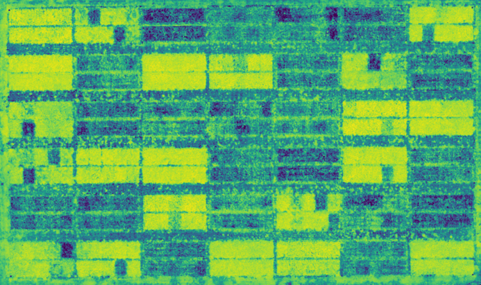
Back in the office, the captured multispectral individual images are assembled into an overall image using an image editing program. In this way, an entire test area is imaged in high resolution and shows information on vitality, fertilization status, biomass, feed quality as well as the effects of stressful situations such as drought or disease pressure.


