
The methodology of modern security science can be applied regardless of the type and origin of the event (natural disasters or anthropogenic disasters) and thus provides the basis for further decision-making systems and assessments. It is divided into three areas: “risk analysis”, “risk assessment” and “risk management”. The risk is addressed systematically, taking into account safety-related, scientific and socio-political requirements. If one brings the traditional hazard analysis into connection with the exposure and consequence analyzes mentioned above, the need for new techniques for delineating and assessing upcoming events becomes clear.
PROJECT GOALS:
- The aim of MONITOR is to use synergy effects of existing knowledge and communication potential and to integrate the various national and organization-specific activities into collaborations. Interdisciplinary risk management is not an end in itself, but rather serves the actions (planning, process management, coping) of the actors involved.
- MONITOR will propose methodological innovations in the sense of risk analysis and focus on improving risk management and creating risk communication guidelines. Furthermore, communication in disaster prevention and disaster control is improved.
- MONITOR will support the entire process of risk assessment and especially risk communication and make it more transparent and lead to transnationally comparable standards in these areas.
TEST AREA GESÄUSE NATIONAL PARK:
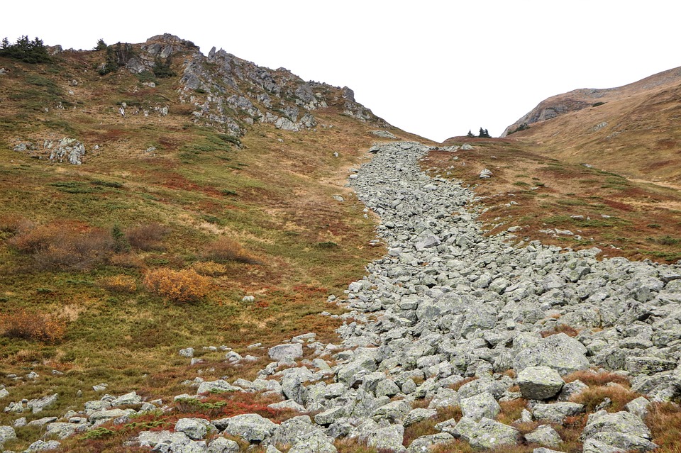
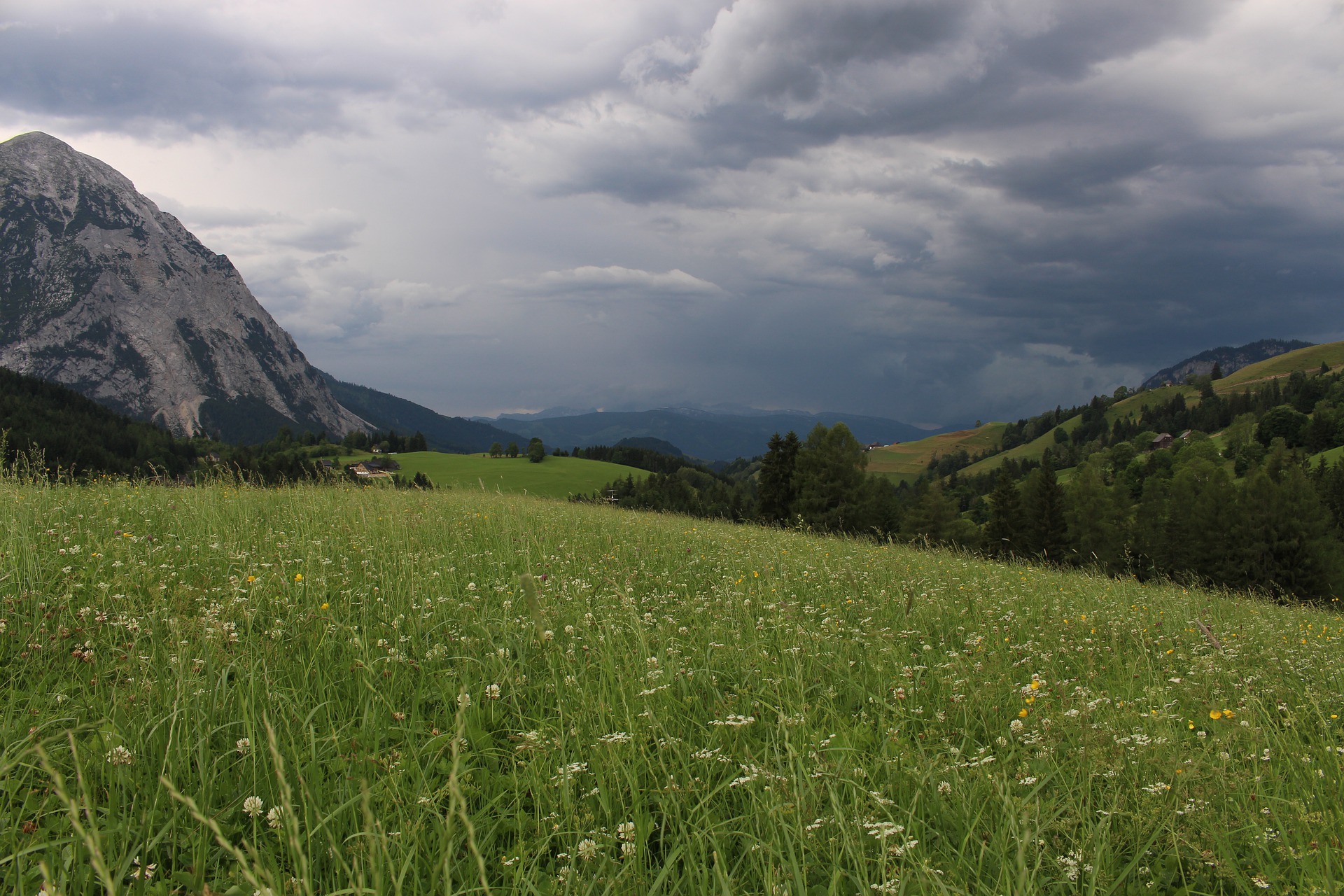
The Gesäuse National Park is characterized by its geological and geomorphological structure. The extreme relief energy is particularly significant. In a very small space we climb from riparian forests on the Enns to rock and rubble areas in the limestone walls. Rock and snow avalanches take the opposite path. The frequency of this is increased by high amounts of snow in winter and frequent heavy rain events in summer.
The Gesäuse National Park is therefore an ideal study area for extreme events in the areas of “torrents and rivers” but also “storms and avalanches”. It is characterized by the frequent occurrence of highly dynamic, natural processes. This results in a high level of biodiversity and preserving this is one of the most urgent tasks of the national park administration. At the same time, protection of the infrastructure must of course continue to be guaranteed. This area of tension between the “freest possible dynamic of nature” and “optimal protection” of people and infrastructure is what makes natural space management in the Gesäuse National Park so special.
MONITOR - Novo Mesto meets Styria
National park experience for the Slovenian partner school Novo Mesto
Novo Mesto is a town with around 22,370 inhabitants in the southeast of Slovenia, not far from the Croatian border. The mountainous landscape in the Gesäuse National Park is therefore a unique experience for the 40 Slovenian pupils, students and teachers from the partner school. The guests from the south got their first impression from the 3D flight over the national park. Afterwards we continued to the Kölblalm, where the alpine farming in the national park was explained. The focus of the excursion was the two current EU projects in the national park, which were presented directly on site.
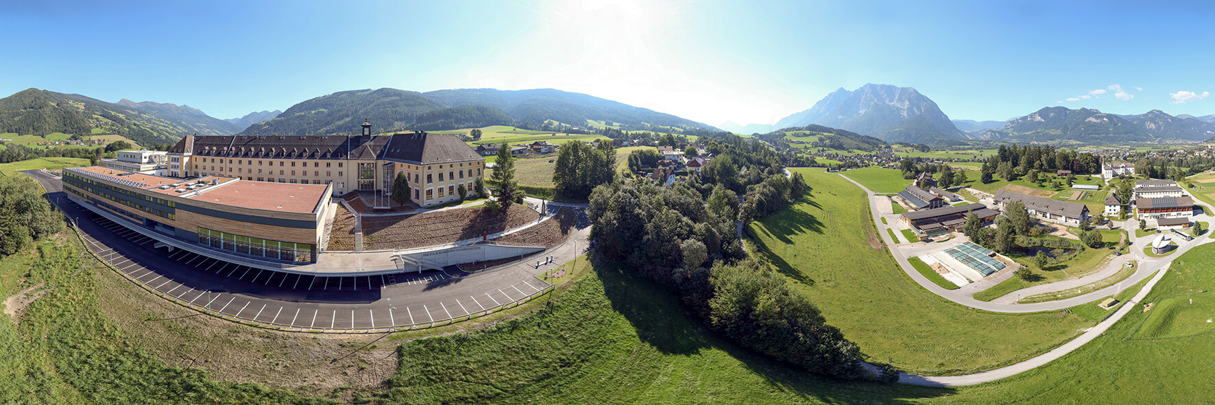
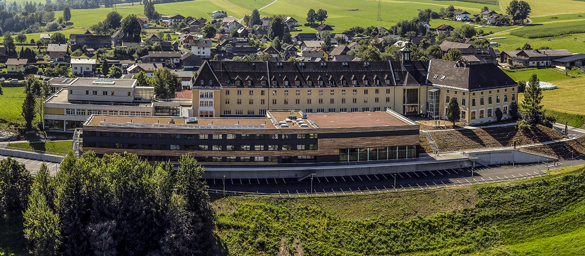
The EU project MONITOR (hazard monitoring for risk assessment and risk communication) is managed in the acquisition department of the HBLFA Raumberg-Gumpenstein. The Gesäuse National Park was chosen as a test area, not least because of its diversity. Permanent observation areas are evaluated on site and in cooperation with the Ennstal and Salzatal torrent and avalanche control authorities, the ÖBB and the national park administration to analyze hazard processes. In addition to the avalanche paths, these areas also include land use areas, particularly alpine farming, nature reserves and infrastructure. The balancing act between maximum protection against natural hazards and the preservation of the natural landscape should be successfully solved together with the involvement of all those affected and involved.
The Ennstal and Salzatal torrent and avalanche control department presented the EU-Life project. This is about the construction of ecological protection measures on the access road to the Johnsbachtal, which are at great risk from mudslides. Thanks to dismantling work at the mouth of the Johnsbach into the Enns, the fish passage options for weak-swimming young fish and bullheads will no longer be an obstacle. An opened side branch now also offers a clear path for the torrent.
After both EU projects were presented, we continued to the willow dome of the national park. The excursion concluded with a short walk through the abbey gardens in Admont and a short tour of the abbey library.
The excursion was very successful - the students from our partner school were able to gain a lot of interesting impressions and information on this day.
MONITOR|08: Monitoring Methods - Systems behind a safer environment
Representatives from science, practice and politics, the Federal Ministry of Agriculture, Forestry, Environment and Water Management and the state governments of Styria and Carinthia as well as the Liezen building district management and the municipalities of the Enns Valley, the Bulgarian Ministry of Forestry, the Czech province of South March, the provinces of Bozen and Veneto Italy, representatives from Slovenia and Greece and Switzerland presented, discussed and observed monitoring methods against risks relating to endangered settlement areas, land use areas and infrastructure.
Companies presented monitoring instruments (hardware and software) on site and posters from the project partners illustrated monitoring methods for different types of risks, the interdisciplinary application of monitoring at a transnational level as well as the combination of innovative methods and the use of corresponding instruments (disaster protection measures, early warning systems and simulation models). .
In the evening, the conference participants were treated to culinary delights with “delicacies from the Ennstal” and music from the “Old Styrian String Music Irdning”.
Excursion: Test areas MONITOR
The first focus of the excursion was the inspection of the “Multereck” avalanche radar on Grimming - as a warning system to protect the state road B 145, an important connecting road between Styria, Upper Austria and Salzburg. The excursion participants got an insight into the Multereck avalanche problem and the responsible authorities explained the function of the avalanche radar.
A special train from the Austrian Federal Railways then ran from Bad Aussee to Obertraun, where the ÖBB presented the endangered areas of the railway line and the avalanche warning posts. From the train, the conference participants were able to observe an avalanche that came off the rock faces of the Koppental.
The international conference concluded with a gondola ride up to Krippenstein. Here the section head of the WLV Upper Austria presented the Koppen regional study and key points for protection against natural hazards in the region.
The results of the international conference were summarized in a publication (Monitoring Methods - Systems behind a safer environment).
The EU project MONITOR not only made it possible to exchange practical experiences of natural hazards through hazard monitoring for risk assessment and risk communication within the partner countries, but also presented methods and instruments as best-practice examples that will be useful for the future at the EU level and internationally Space is of essential importance for the protection of land use areas, settlement areas and infrastructure.