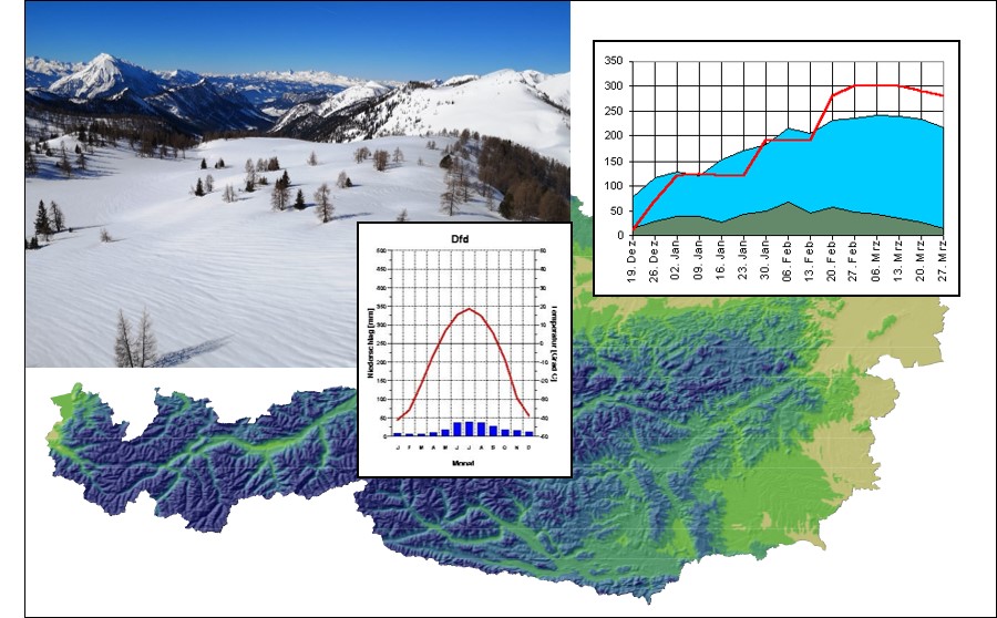
The implementation of a model based on scientific principles for the entire area of Austria (approx. 84,000 km²) is not only a technical problem, but also a challenge in terms of technical implementation. In this work, snow cover was simulated over the entire winter with daily result grids at a resolution of 50 meters. For necessary reasons of simplification, the water equivalent of the snow was examined, so that exact snow depths cannot be determined due to the lack of snow density information. In this application, the information about the presence or absence of snow can be determined with an accuracy that takes into account the variability of the topography in the mountain area and which, as an alternative to remote sensing, is of interest to many disciplines.
Schaumberger, A.; Formayer, H.; Tiefenbach, P.; Grillenberger, J. and Strobl, J. (2008): Modeling the spatiotemporal course of snow cover. Communications from the Austrian Geographical Society 150 (2008), 163-182.


